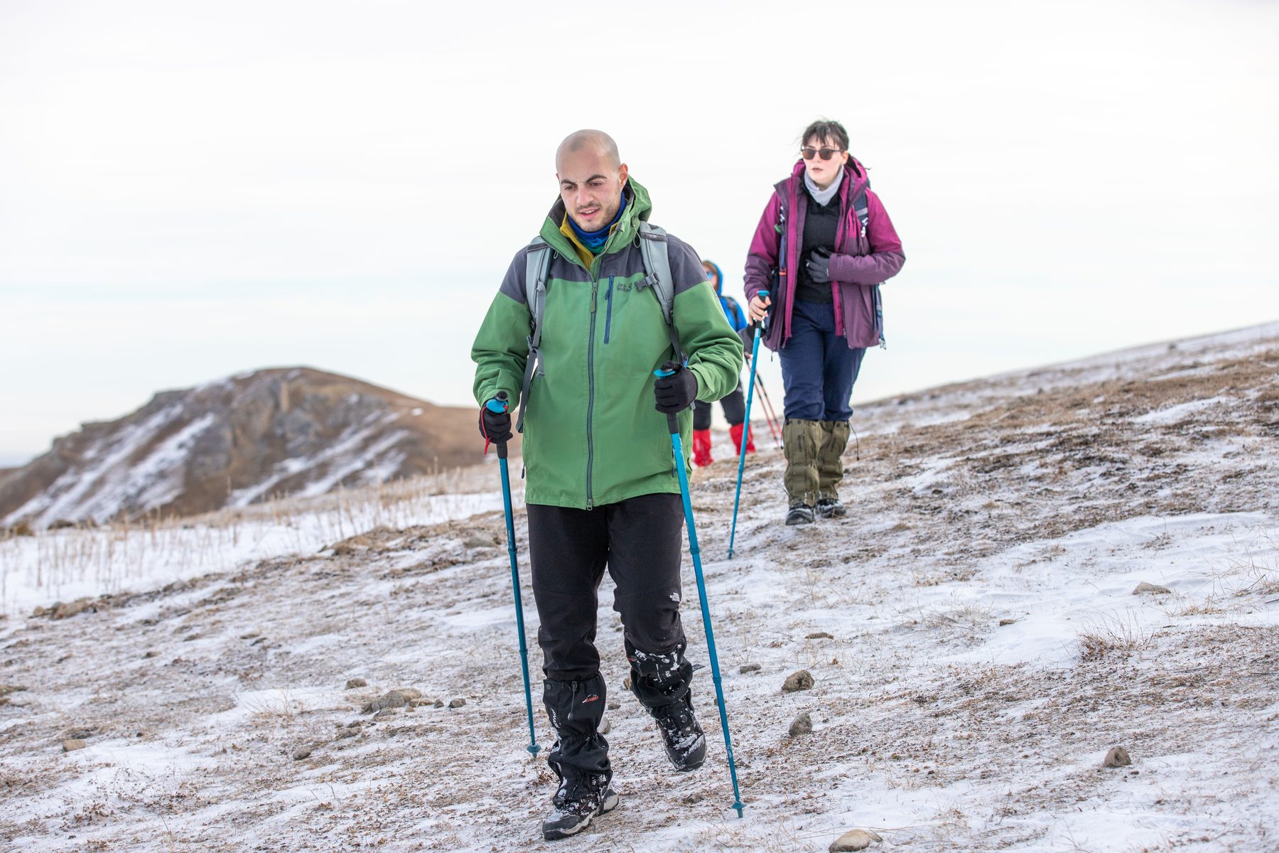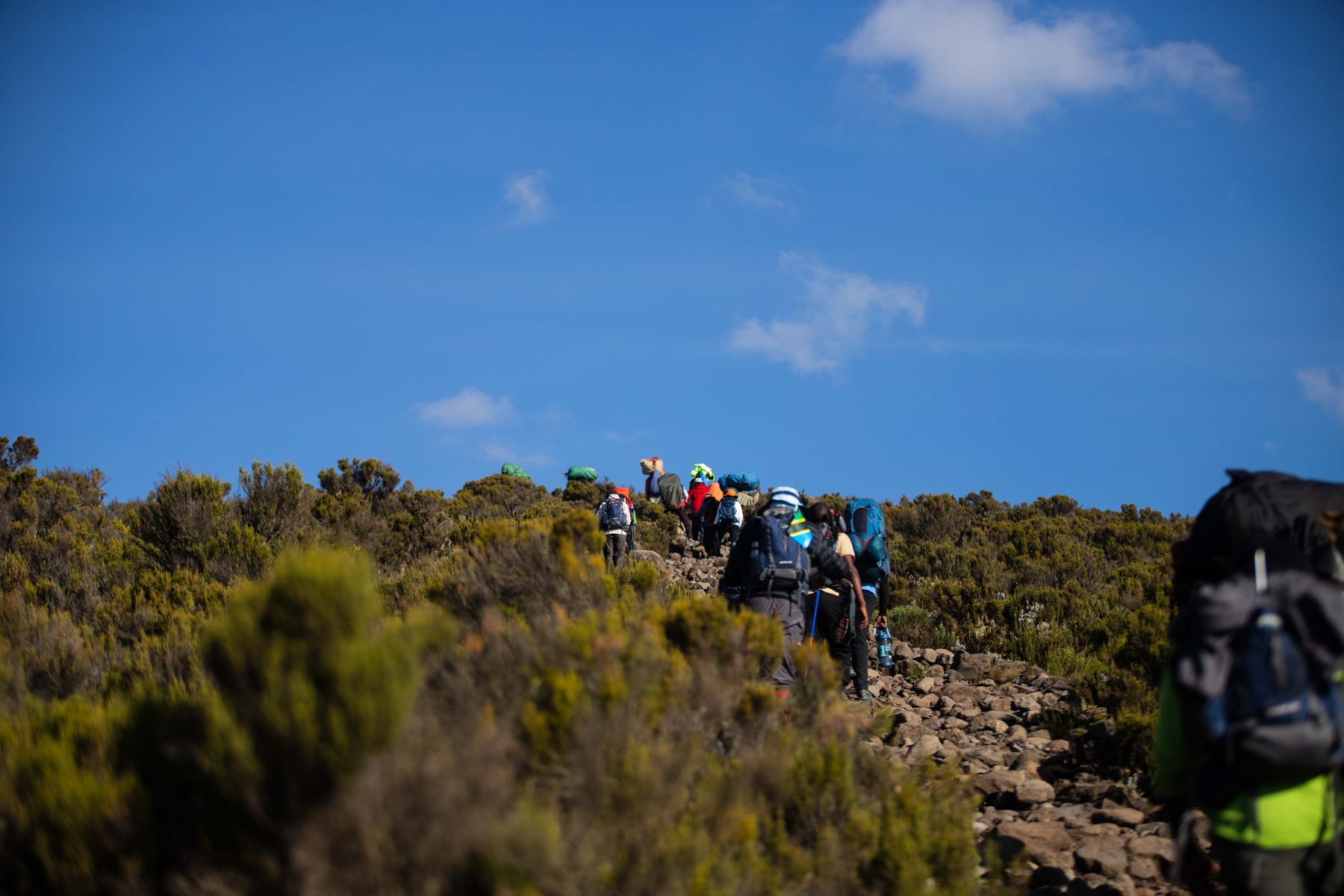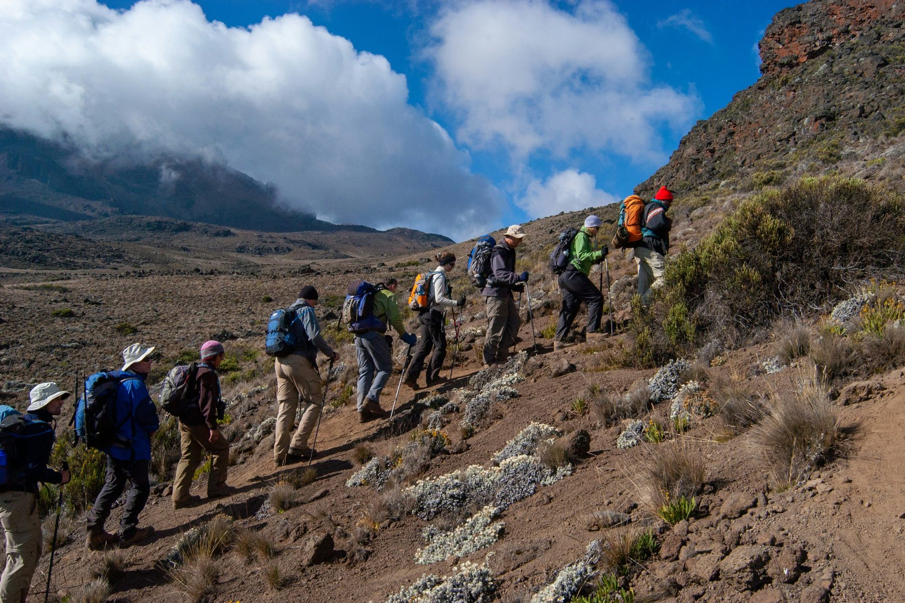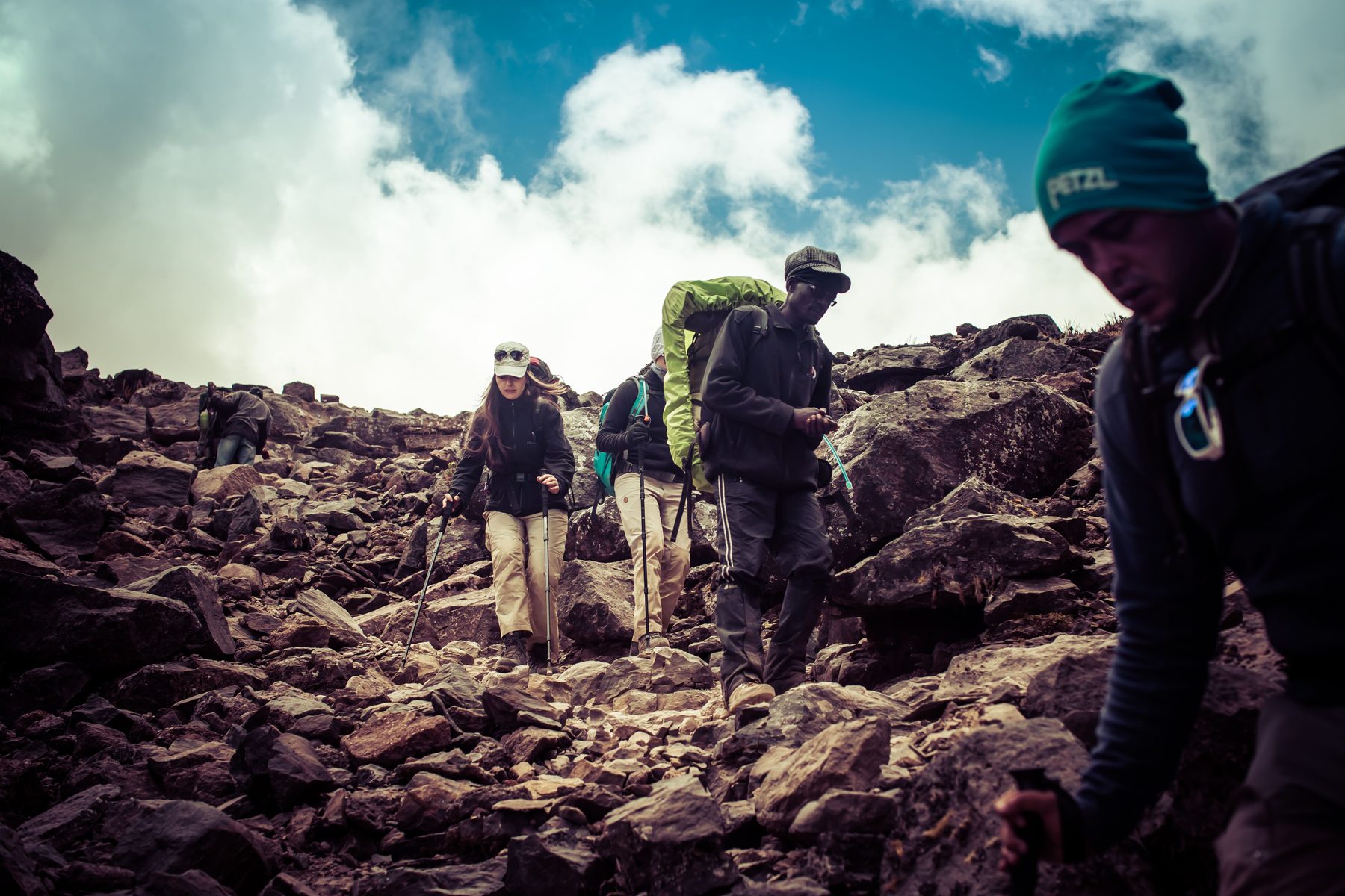
The Machame route, also known as the "Whiskey" route, is a challenging and expensive route to scale Kilimanjaro. It is suitable for adventurous trekkers and experienced hikers, offering stunning scenery and varied experiences. The route approaches the summit from the southwest and descends using the Mweka route, offering views of the Shira Plateau, Lava Tower scramble, Great Barranco wall climb, and traverse underneath the ice field. This challenging trek offers stunning scenery through five climatic zones, split pre-summit day climbs, and is popular for acclimatization, offering a variety of walk-high, sleep-low opportunities.
The Journey
Day 0
Pre-trek Briefing
We will pick you up from Kilimanjaro or Arusha airports if you have chosen the optional airport transfers, and we will then drive you to your Moshi accommodation.
Briefing prior to the journey at your Moshi hotel. It is advisable that you arrange to arrive at least one day before to the start of the hike. We will spend the day conducting a pre-trek briefing. In addition, we will inspect your equipment and rent any that is required.
Day 1
Hotel to Machame Camp
The drive from Moshi to Machame Gate takes approximately 45 minutes. The trek passes past the settlement of Machame, which is located on the mountain's lower slopes.
We leave the park entrance and follow a twisting trail up a ridge through the rainforest. At lower levels, the trail may be muddy and slippery. Gaiters and trekking poles are recommended here. We continue a little way until we reach Machame Camp.
- Elevation
- 1830m/6000ft to 3050m/9950ft
- Distance
- 11km/7mi
- Hiking Time
- 5-6 hours
- Habitat
- Montane Forest
Day 2
Machame Camp to Shira Camp
After breakfast, we leave the rain forest glades and proceed up a rising trail, crossing the valley by a steep rocky slope. The trail now heads west along a river gorge until we reach the Shira campground.
- Elevation
- 3050m/9950ft to 3850m/12,600ft
- Distance
- 5km/3mi
- Walking Time
- 4-5 hours
- Habitat
- Moorland
Day 3
Shira Camp to Lava Tower to Barranco Camp
From the Shira Plateau, we continue east along a ridge, past the intersection and heading for Kibo's peak. As we proceed, our path shifts to the southeast, towards the "Shark's Tooth" Lava Tower (elevation 4650m/15,250ft). Shortly after the tower, we come to the second junction leading to the Arrow Glacier. We continue heading down to the Barranco Camp. Although you conclude the day at almost the same elevation as when you started, this day is critical for acclimatization and will help your body prepare for summit day.
- Elevation
- 3850m/12,600ft to 4000m/13,000ft
- Distance
- 10km/6mi
- Walking Time
- 5-6 hours
- Habitat
- Semi-desert
Day 4
Barranco Camp to Karanga Camp
After breakfast, we leave Barranco and continue on a steep ridge up the Barranco Wall to the Karanga Valley and the junction which connects with the Mweka Trail.
- Elevation
- 4000m/13,000ft to 4050m/13,250ft
- Distance
- 5km/3mi
- Climbing Time
- 3-4 hours
- Habitat
- Alpine Desert
Day 5
Karanga Camp to Barafu Camp
We continue up to the Barafu Camp. You have completed the South Circuit, which offers views of the summit from many different angles. Here we make camp, rest, enjoy dinner, and prepare for the summit day.
- Elevation
- 4050m/13,250ft to 4700m/15,350ft
- Distance
- 4km/2mi
- Climbing Time
- 3-4 hours
- Habitat
- Alpine Desert
Day 6
Barafu Camp to Summit to Mweka Camp
We continue our journey to the peak between the Rebmann and Ratzel glaciers at the early hours (midnight to 2 a.m.). You go northwest and climb through hard scree to Stella Point on the crater rim. This is the most mentally and physically hard part of the journey. At Stella Point, you'll take a quick break before being rewarded with the most spectacular sunrise you've ever seen. Faster hikers may see the sunrise from the summit.
On your 1-hour ascent from Stella Point to the peak, you may experience snow the entire time. Congratulation, you are at Uhuru Peak. Uhuru Peak is the highest peak on Mount Kilimanjaro and the continent of Africa!
From the summit, we descend directly to Mweka Camp, stopping for lunch at Barafu. You may want gaiters and trekking poles for the loose gravel descent. We arrive at Mweka Camp and spend our final evening on the mountain.
- Elevation
- 4700m/15,350ft to 5895m/19,340ft
- Down to
- 3090m/10,150ft
- Distance
- 5km/3mi up / 13km/8mi down
- Hiking Time
- 5-7 hours up / 5-6 hours down
- Habitat
- Stone scree and ice-capped summit
Day 7
Mweka Camp to Mweka Gate to Hotel
After breakfast, we will continue our descent to the Mweka Park Gate, where you will get your summit certificates. At lower levels, it can get rainy and muddy. Gaiters and trekking poles will be useful. Shorts and t-shirts will likely suffice (have rain gear and additional clothing on hand).
Atlas Tanzania Adventures Vehicle will be waiting for you at Mweka Gate to bring you back to your hotel in Moshi (about 60 minutes).
- Elevation
- 3090m/10,150ft to 1680m/5500ft
- Distance
- 10km/6mi
- Hiking Time
- 3-4 hours
- Habitat
- Forest